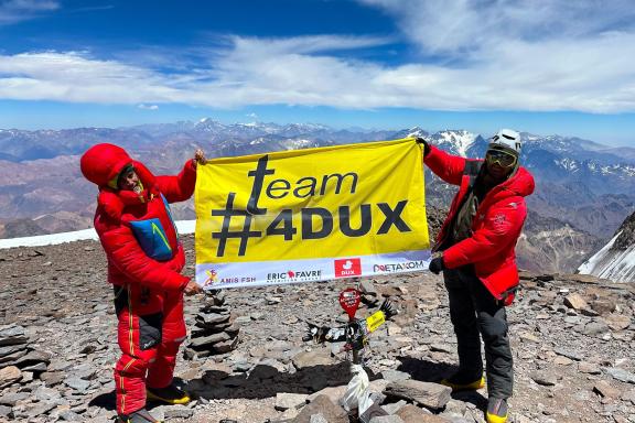
At 6962 meters, Aconcagua is the highest peak in South America, but it is in fact the highest peak on the entire American continent. This makes it one of the “Seven Summits”, the highest peak on each of the seven continents. Considered to be a trekking peak, its normal route and traverse are not very technical, allowing good, physically fit trekkers to try out a very high-altitude experience at almost 7000 meters. There are four routes to its summit: the standard route via the north-west face, starting from Plaza de Mulas, known as the normal route to Aconcagua; via the east ridge corssing to the north-west ridge, known as the Aconcagua Polish traverse route, which joins the normal route at Camp Colera; via the east face with a direct ascent via the Polish Glacier, known as the Aconcagua ascent via... the Polish Glacier! And finally, the engaged route via the south face. In this article, we'll take a closer look at the three main routes, so that the Aconcagua no longer holds any secrets for you.
Four different routes
Aconcagua can be climbed by four different routes:
- via the classic northwest ridge, starting from Plaza de Mulas (the historic route of the first ascent), known as the normal route of Aconcagua ;
- by traversing the east ridge, known as the Aconcagua Polish traverse route;
- via the east ridge, known as the ascent of Aconcagua via the Polish Glacier, and finally ;
- via the South face, a highly engaged ascent that is almost never attempted any more, given mountain conditions.
Ascent of Aconcagua by the normal route, via the northwest ridge
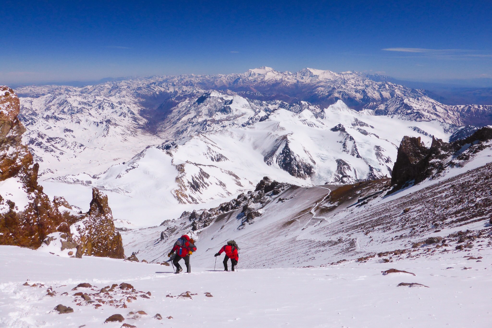 Ascent of Aconcagua standard route ©Jérôme Brisebourg
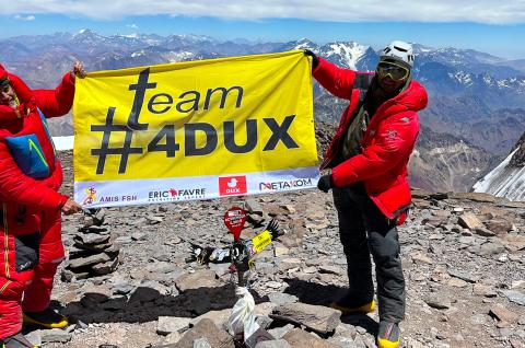
This mythical, almost 7,000-meter summit, the highest point in South America at 6,962 meters, presents no technical difficulty on the normal route. Part of the “7 Summits” challenge, it attracts mountaineers from all over the world. Located in the southern hemisphere, the climate is particularly dry and the route is snow-free most of the time.
The North-West ridge is the normal route up to the summit, whose itinerary is described in detail here. A long trek from Penitentes, where we leave our vehicles, takes us in four days to the Plaza de Mulas base camp at 4350 meters. A return trip to the foot of the mythical south face at Plaza Francia and the ascent of Cerro Bonete (5100 m) will allow us to prepare well for our acclimatization. Three high altitude camps then take us to the summit of Aconcagua: Plaza Canada at 5050 meters, Nido de Condores at 550 meters and the last camp, Colera at 5970 meters. The main difficulty lies in the relatively fast pace of the ascent, the very high altitude and the often violent wind that sweeps across the summit on this side. The success rate on Aconcagua is just over 50%. The expedition lasts 16 days, with a 2-day weather reserve.
Discover the itinerary for climbing Aconcagua via the normal route.
East ridge and Polish traverse ascent of Aconcagua
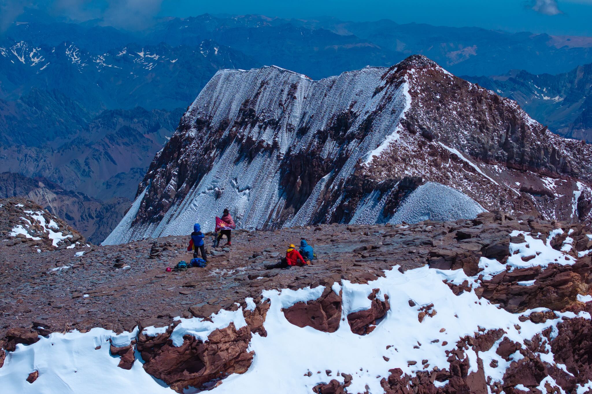 At the top of Aconcagua at 6962 meters ©Expeditions Unlimited
Here, we take the so-called “Polish traverse” route, described in detail here, climbing up the east side to reach the north-west side of the normal route and then descending the mountain along the same route. This almost completes the tour of Aconcagua, providing a varied, wilder and less frequented itinerary for the ascent. What's more, the entire east-facing section is better sheltered from the wind. As a result, up to camp 2 and then camp 3 (Colera), where we return to the normal route, the winds are often less violent than on the more exposed normal route.
This route starts with a long trek from Penitentes, where we leave our vehicles, which takes us in three days to the Plaza de Argentina base camp at 4190 meters. Three altitude camps then take us to the summit of Aconcagua: Camp 1 at 4,800 meters and Camp 2 at 5,486 meters. After several rotations, we make a long traverse at altitude between camp 2 and camp 3 of the normal route, namely Colera (5970 m), which we reach before embarking on the summit ascent.
All in all, this itinerary, which a few years ago was not very well traced, making it laborious, has now become more popular and represents a fine alternative to the normal route, albeit with a little more engagement.
The Polonais glacier is left on the left-hand side of the traverse. The views are nonetheless magnificent during the traverse.
The return journey from the summit is via Camp 3 (Camp Colera) on the north-west side of the normal route. From there, we return to the Plazza de Mulas base camp, Horcones and Penitentes... And we've come full circle!
Discover the Aconcagua traverse route.
Ascent of Aconcagua via the east ridge and the Polish Glacier
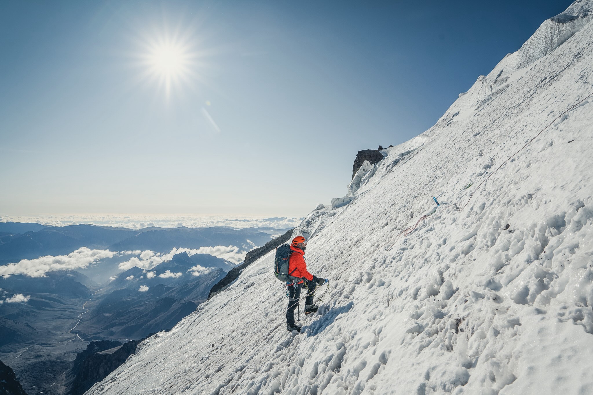 Ascent of Polish glacier on Aconcagua © Expeditions Unlimited
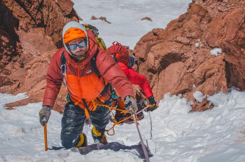
The ascent of Aconcagua via thePolish Glacier, detailed here, follows the same ascent route as the traverse on the east side, but at Camp 2 (5486 m), it is diverted to Camp 3 (5863 m) at the foot of the glacier, which is then climbed to the summit and back.
This elegant route is engaged on its summit day. The glacier is fully equipped with fixed ropes in season, reducing the technical difficulty. However, the climb is physically demanding, with almost 1100 meters of ascent on a relatively steep slope (40-55°) of snow and ice, requiring a little mountaineering experience. The guide/mountaineer ratio is almost 1:1 on this section, for added confidence and safety.
The return is from Camp 3 on the east side, as on the ascent, so there's no crossing. The way out is via the Plazza Argentina base camp, Pampa de Lenas, Punta de Vacas and Penitentes.
Discover the Aconcagua ascent route via the Polish Glacier.
Climbing Aconcagua from the south face
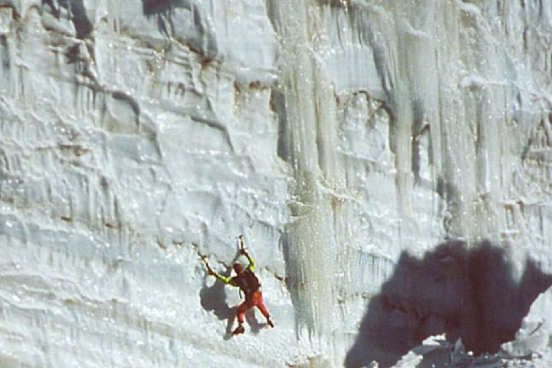
South face ascent of Aconcagua © Expeditions Unlimited
The ascent of the South Face is reserved for a few very experienced climbers. It involves climbing almost 2000 meters of a difficult wall of rock and ice. Some sections are a little less vertical, but it's easy to imagine the difficulty of the undertaking in the light of the photo above.
Moreover, conditions on the mountain have deteriorated in recent years, with drought adding to the objective danger of rock falls.
Climb Aconcagua at 6962 meters via the Polish Glacier in Argentina
Climb Aconcagua at 6962 meters standard route in Argentina
 Expeditions Unlimited blog